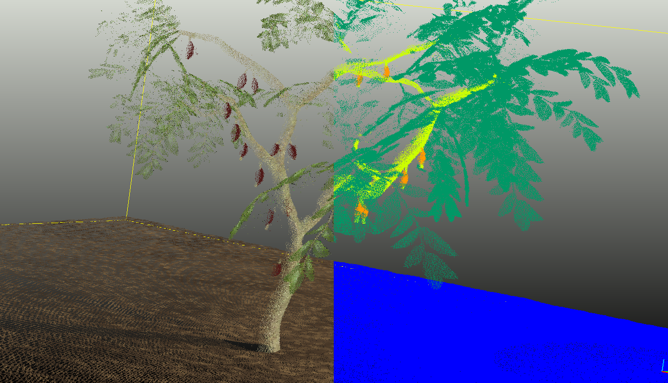
 One cacao tree · colorized | classified by organ
Harvests you can plan, forests you keep standing
Species, condition and per-tree harvest estimation for aguaje, brazil nut and cacao, with data that stays in the grower's hands.
Four numbers, measured, not assumed
- Individuals per species and per hectare
- Height, diameter and stand condition
- Per-tree harvest estimation
- Survival and gaps
Plan aguaje, brazil-nut or cacao harvesting, and negotiate volumes with a number of your own.
 UNDERSTORY · One campaign, itemized
The ground calibrates. The air scales.
Handheld LiDAR · 2 ha/hour
Tree by tree under the canopy. Operated by the local crew after two days of training, and it works with no internet connection.
Drone LiDAR · 60 ha/hour
Full property coverage in days. Flown over well-measured ground plots, it extends that precision to the whole surface.
UnderstoryOS · traceability
Every measurement keeps its date, operator, location and origin, with the satellite record as context.
What we deliver is the raw data with its chain of custody, not a closed report.
A cacao-growing cooperative in Ucayali now walks its own agroforestry parcels with a handheld scanner and keeps the resulting per-tree harvest estimate: not a number a buyer hands them, one they bring to the table themselves when negotiating volume and price.
Start with your project
Send us your project boundary and target requirement. We come back with a monitoring plan preview and a fixed-price pilot scope.